Back to Home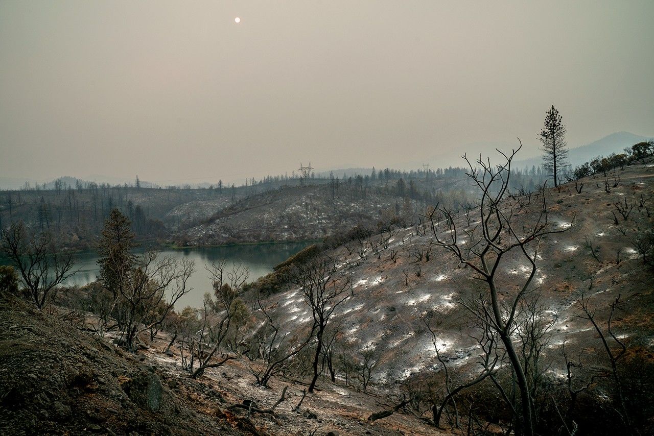
NASA Data Powers New Tool to Protect Water Supply After Fires
By NASA Earth Applied Sciences•August 15, 2023•
6 min read
•9,345 views
NASA scientists have developed a new tool that leverages satellite data to help water managers better protect drinking water supplies in areas affected by wildfires. This innovative approach uses information from multiple NASA satellites to predict how burned landscapes will affect water quality in downstream reservoirs and watersheds.
The Hydro-Fire tool combines data on burn severity from NASA's Landsat satellites with precipitation forecasts and topographic information to model post-fire runoff patterns. It predicts when and where ash, sediment, and other contaminants might flow into water supplies, giving water utilities time to implement protective measures.
In recent years, wildfires have become increasingly destructive across the western United States, leaving behind landscapes that can generate significant runoff during subsequent rain events. This runoff often carries ash, debris, and harmful chemicals into rivers and reservoirs, threatening drinking water supplies for millions of people.
By providing water managers with early warning of potential water quality issues, the Hydro-Fire tool helps utilities take preventive actions such as adjusting treatment processes, implementing additional filtration, or temporarily switching to alternative water sources. This represents a powerful example of how NASA Earth science data can be applied to solve real-world problems and protect public health.